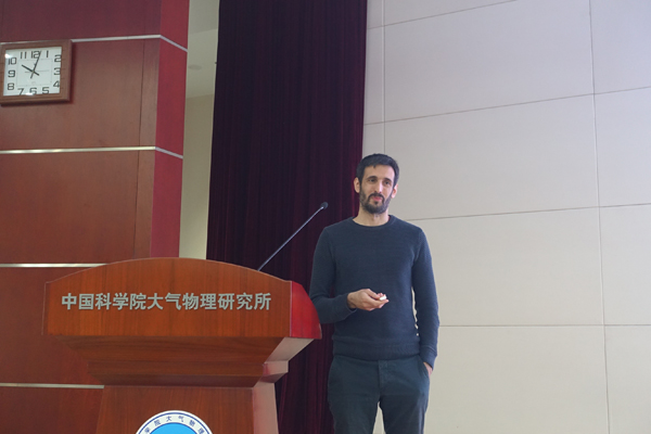
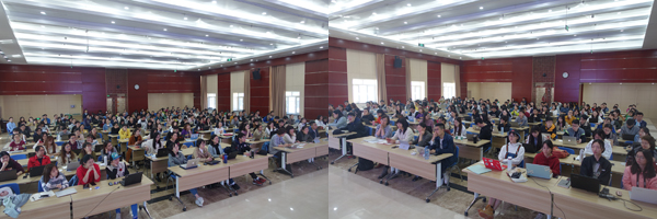
An academic salon featured Python application was held on April 24, 2019 in IAP. Dr. Kalli Furtado from the Met Office was invited to give a seminar entitled “Using Python in Geophysical Applications”. The seminar aimed at a short introduction to using the Python programing language to solve typical problems in atmospheric science, such as plotting and analyzing geo-spatial data from numerical models and observation data sources. Dr. ZHANG Lixia chaired the event and more than 160 people attended.
The lectured focused on familiarization with Python language basics, doing mathematics with numpy and scipy, handling common geophysical data types, plotting with matplotlib and using the Met Office’s iris library. To help learners get hands-on experience with Python, the seminar made a point of having a practical component. Participants brought laptops with Python 2.7 and needed libraries installed in advance. After the lecture session, participants then practiced following the instructions. All were actively involved in discussions about solutions whenever encountering problems or errors during the on-site practice.
NCAR announced early this year to NCAR Command Language (NCL) users its decision to move to Python as the scripting language of choice for future visualization and analysis software development.
The seminar organized by LASG Student Union provided young students a good opportunity to increase their knowledge about Python and better transit to the new language programing.